
- Magnificent valley and coastal views.
- Stunning Coly Valley.
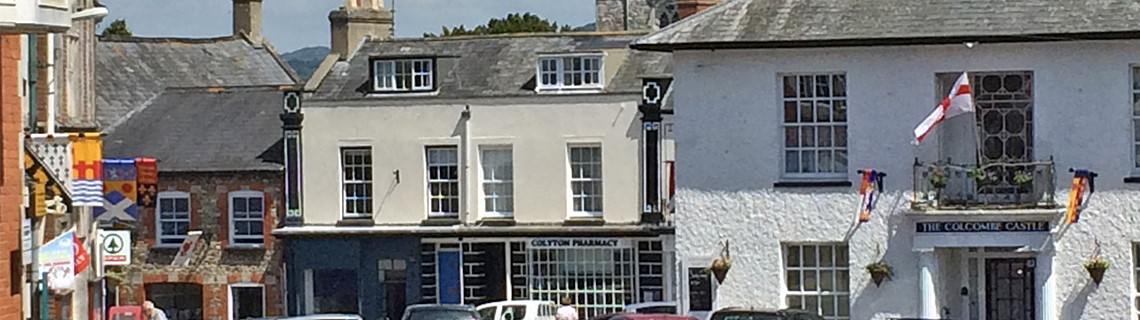
- Enchanting small town of Colyton at the half-way stage with Cafes and pubs, supermarket etc.
Distance: 10.5 miles. Walking Time 5 hours. Maximum elevation 500 feet.
Difficulty: Reasonable fitness. Terrain – roads and marked tracks, muddy in parts if wet.
Recommended map: OS Explorer 1:25000 no 116
Refreshments: 2.25 miles. Tower service station, 5 miles Colyton, Pubs, shops, Cafes.


Main Route (Walk 4)
Walk down Fore Street from the Mariner’s Hall (1) to the Bay View café, bottom left. Take footpath up steps immediately past toilets climbing steeply left behind the Bay View café and public toilets (signed coast path avoiding steep steps). As you climb keep left ignoring Seaton finger post sign. This leads you to the Seaton Road. Turn right, (use path) and after 250 yards at end of path stay right on main road and almost immediately left into Stovar Long Lane. By the phone mast on the left take a footpath sign to the right. Magnificent view along Lyme Bay towards Portland Bill. Follow path with markers into the valley. It passes Couch Hill Farm. As you approach next farm (Gatcombe Farm), the path takes a hard right on far side of the field boundary heading up the valley and becoming a gravel farm track. Continue straight and pass through a five bar gate facing you. Follow the path along field side through a marked gate and 50 yards ahead is Seaton Down Road. Turn left. Great view of Seaton and Axmouth and picnic tables on the green there. Continue 350 yards. You reach the A3052. Refreshment and shop at Tower Service Station. Distance so far 2.25 miles.
Cross the A3052 (2) and follow the footpath sign and you will shortly enter Holyford Woods, a wildlife conservation area. Follow the well defined track over a footbridge and swing right to the side of the old reservoir. You will arrive at a quiet metalled road. Follow this left to the junction with a slightly larger road where you turn left. Continue to the first road right. After approximately 500 yards turn right and immediately left on public footpath through metalled gate. After 400 yards the track reaches a road. Turn left and straight over the crossroad and you will see wide views of the Axe Valley. The road descends into Colyton (3). Distance so far 5 miles.
Colyton has a fine church and is a village with a slightly French feel. In the village centre take the right fork downhill for 100 yards to The Kingfisher, or in the centre go through the churchyard and you reach the Gerrard Arms, both character pubs with food and/or snacks.
Leaving The Kingfisher and head up the road facing you and you will arrive at The Gerrard Arms. Leaving the Gerrard Arms on your left, go right at the next two junctions. This road crosses the Coly river. Turn left (4) and stroll alongside the river enjoying one of Devon’s finest river valleys for over half a mile.
Cross the river at the second foot bridge (5). Arriving at a road junction follow the public footpath directly uphill from this junction. Climb through the wood and continue directly across two fields to reach a junction with a wide track you take on your left. Continue straight on this track which becomes metalled for one mile and a half passing Ashdown Farm until you reach the main coast road (6). Distance so far 8.5 miles.
Cross the A3052 and follow the lane for one mile where it reaches the Beer Road. Take the first left into Stovar Long Lane and continue down with fine sea view. On passing the phone mast follow the footpath sign on your right to descend into Beer.